Whether you are generating a land constraint application or identifying prime locations for public transport enhancements, we can help.
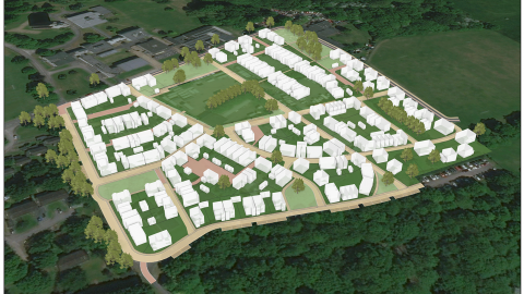
PJA analyse, manage, and visualise world phenomena using spatial data in the latest geospatial software, and produce interactive webmaps, dashboards and 3D models.
Working with a variety of sectors, our tailored solutions provide clients with remote access to their spatial data as well as real time calibrations between organisations.
Our services include:
- Route planning
- Masterplanning analytics
- Data management and storage
- Geospatial infographics
- Interactive data interrogation
- 3D Visualisation