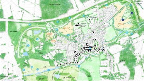
PJA has provided highways design and transport planning advice in relation to land to the north of Westerham, Kent.
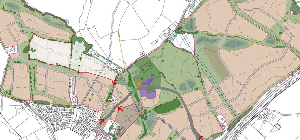
The scheme includes the provision of 600 dwellings and an associated link road to reduce pressure on the existing A25 through central Westerham, which currently experiences congestion and air quality issues. The provision of the relief road would also facilitate a significant public realm improvement within the town centre to improve the pedestrian environment.
As part of a wider traffic analysis of the town, origin-destination surveys were commissioned by PJA to ascertain the proportion of traffic that would re-route following the completion of the relief road around the town.
Supplementing this analysis, PJA undertook a GIS based exercise to understand the journey time benefits to the network. The analysis considered a number of different relief road design and town centre urban realm improvement scenarios. The GIS network was also used to identify suitable pedestrian and cycle corridors to ensure integration between the development and Westerham Town Centre.
Taking into account the future traffic scenario, PJA prepared a preferred preliminary relief road design. This took into consideration the demands of land ownership, topography and protected assets along the road section.
The development site is currently under consideration for inclusion within the Sevenoaks Local Plan, with the technical information submitted by PJA carrying significant weight within the proposals.