Our Informatics team has been helping parents and children in Reading travel to school safely and sustainably by creating a series of interactive web maps and infographics.
The tools have been produced for Reading Borough Council in response to the need for social distancing on school journeys – which has also created an opportunity to encourage healthier, greener travel methods including cycling and walking.
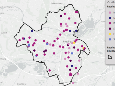
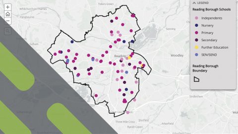
Built in a StoryMap, the continuously evolving Interactive Maps allow parents and students to explore and understand different travel options and routes to every single educational establishment across the town – including nurseries, primary and secondary schools and colleges.
The school-specific infographics provide tailored advice for pupils and parents to encourage safe and active travel wherever possible. See the Secondary School infographics here.
For more information please contact Brian Norman: [email protected]