The Environment Agency have updated the Planning Practice Guidance (PPG) in relation to flood risk and coastal change, but what do the changes mean?
The Environment Agency published a major refresh of the PPG guidance on the 25th August 2022, bringing it in line with the changes introduced to the National Planning Policy Framework (NPPF) in 2021.
What are the key changes and what do they mean?
There are clearer requirements for multifunctional Sustainable Drainage Systems (SuDS)
While SuDS should already be considered the ‘norm’ on new development, further weight has been placed on use of above-ground, multifunctional SuDS. These are SuDS that offer biodiversity, amenity and water quality enhancements as well as the typical water quantity management element.
The Sequential and Exception Tests have been updated to consider surface water.
Greater focus has been given to surface water flood risk so surface water flood risk should be considered earlier and more holistically than before.
The definition of a functional floodplain (Flood Zone 3b) has changed from an annual probability of 1 in 20 (5%) or greater in any year to 1 in 30 (3.3%) or greater in any year.
With this change more land is likely to be defined as a ‘functional floodplain’ and no development is typically considered to be appropriate on land with this definition.
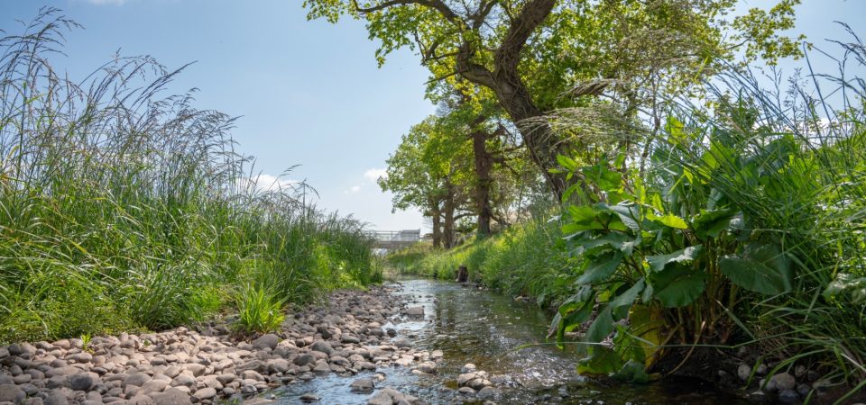
Increased promotion of Natural Flood Management (NFM) in new developments.
The guidance now provides details on how natural flood management (NFM) techniques can be delivered, specifically encouraging the de-culverting and re-naturalisation of watercourses.
The call-in process is set out:
Where you are proposing major development in:
- Flood Zone 2 or 3; or,
- On land within Flood Zone 1 but identified in a critical drainage area;
and,
- On land subject to a sustained objection from the Environment Agency.
but the Local Planning Authority (LPA) want to grant planning permission, this should be referred to the Secretary of State.
How can I check my surface water flood risk?
To find out if your Site is at surface water flood risk via the Long-Term Flood Risk Information mapping here: https://www.gov.uk/check-long-term-flood-risk
Where can I find the updated guidance?
The updated guidance is available here: https://www.gov.uk/guidance/flood-risk-and-coastal-change
Want to find out how your development may be impacted by these updates?
To find out more about how your site might be impacted, contact us:
Jerry Muscroft, Director
M: 07732 601 245
E: [email protected]
Alison Caldwell, Associate Director
M: 07976 482 210
E: [email protected]
Phoebe Ryding, Senior Flood Risk and Drainage Engineer
M: 07872 858 452
E: [email protected]
Made up of some of the UK’s leading transport planners, engineers and place makers we work together to create better places through great design.
Find out more about our services here
Sign up for more news from PJA here
Find out more
For more information please contact: